File:OBR-place-Brena River Basin.jpg
The UESPWiki – Your source for The Elder Scrolls since 1995

Size of this preview: 800 × 450 pixels. Other resolutions: 1,024 × 576 pixels | 1,920 × 1,080 pixels.
Original file (1,920 × 1,080 pixels, file size: 670 KB, MIME type: image/jpeg)
Summary[edit]
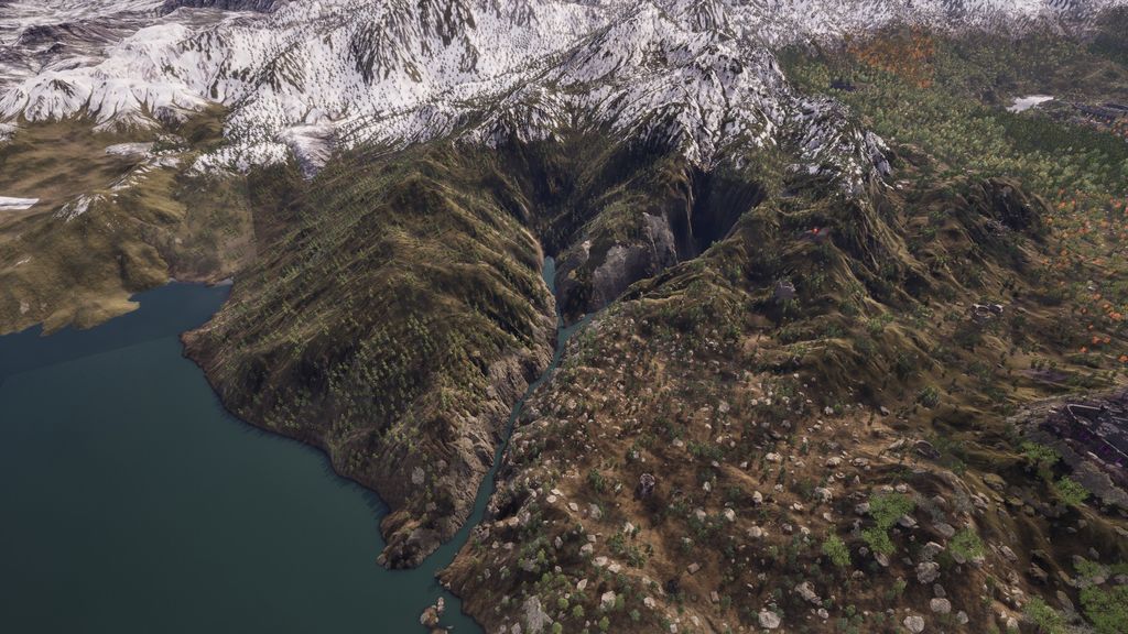
The Topography of the Brena River Basin, which forms a large part of the border between Hammerfell and Cyrodiil, and cuts though the heart of the Colovian Highlands. As seen in The Elder Scrolls IV Oblivion Remastered.
File history
Click on a date/time to view the file as it appeared at that time.
| Date/Time | Thumbnail | Dimensions | User | Comment | |
|---|---|---|---|---|---|
| current | 21:22, 3 May 2025 | | 1,920 × 1,080 (670 KB) | Vylaera (talk | contribs) | The Topography of the Brena River Basin, which forms a large part of the border between Hammerfell and Cyrodiil, and cuts though the heart of the Colovian Highlands. As seen in The Elder Scrolls IV Oblivion Remastered. |
- You cannot overwrite this file.
File usage
The following page links to this file: